Lost Lake
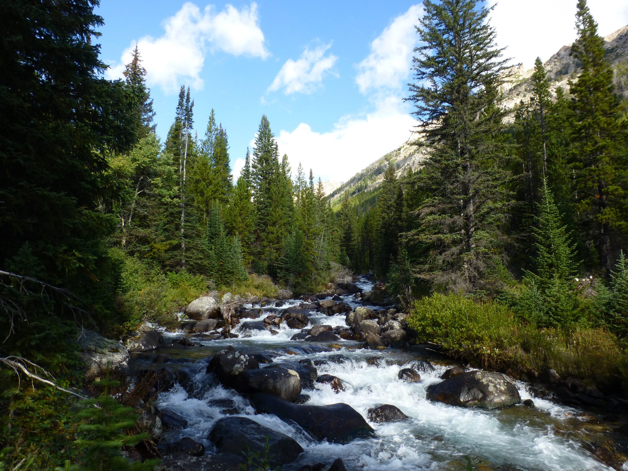
Lake Fork of Rock Creek © by Linus Metzler 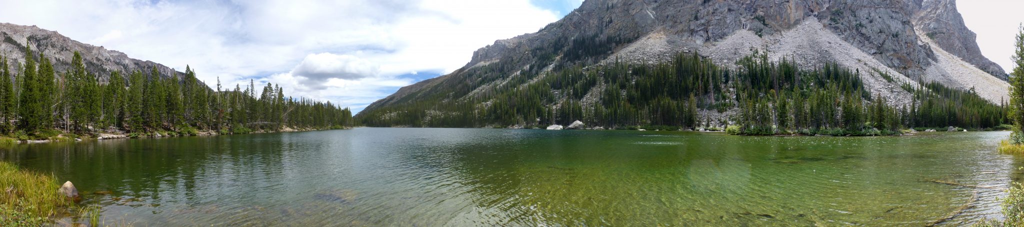
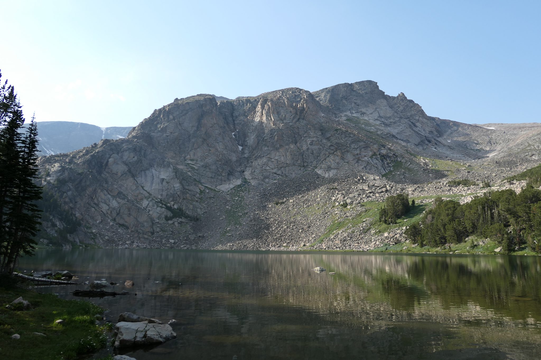
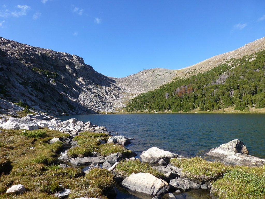
Lost Lake © by Linus Metzler 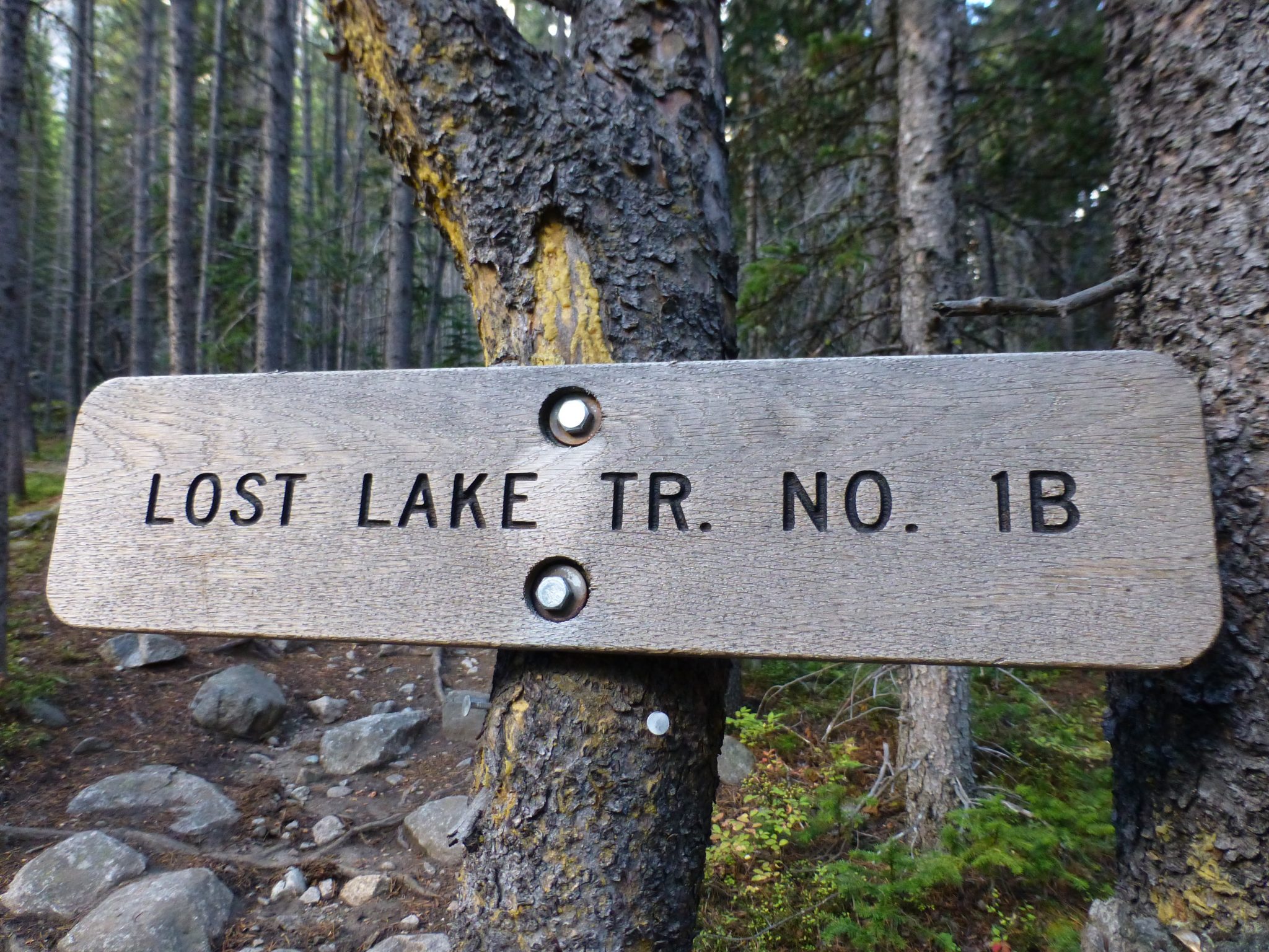
The old sign for Lost Lake Trail © by Linus Metzler
You can find the Lake Fork Trailhead 20 minutes southwest of Red Lodge, MT, accessible by a paved road. Just before you begin climbing up the Beartooth Pass and after you pass the Bearcreek Trailhead, you can see a brown Forest Service sign on your right indicating the turn-off. This trailhead is a good starting point for many shorter and longer hikes and trai runs close to Red Lodge
The trail to Lost Lake is about 5 miles one-way and gains about 1,300 feet which are barely noticeable since it follows the Lake Fork of Rock Creek for almost the entirety of the hike.
When you leave the trailhead and cross the bridge, be sure to take a right and follow the creek upstream. There are several meadows between you and the river which are a great spot to see moose (do not underestimate moose, they can be in a bad mood). The trail looks similar in many places and some of the features you can use to orient yourself is Silver Falls Creek after one mile, Broadwater Lake after 3 miles (the river flows slower in this section and makes for a great destination, too; don’t expect a lake however), and the photo spot (pictured) after about 4 miles.
If you plan on going to Lost Lake, you’ll need to take a left at the (currently) unsigned junction after about 4.5 miles. This junction is easy to find as it is in a flat section and the only one before you reach the second bridge (if you reach the second bridge, you’re on your way to Keyser Brown / September Morn Lake and Sundance Pass).
Follow this little spur trail for less than half a mile and you arrive at Lost Lake which is a great destination for a leisurely hike.
Keyser Brown, First Rock, Second Rock Lake
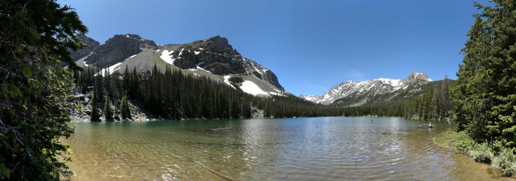
Keyser Brown Lake © by Linus Metzler
If you prefer a little more uphill and distance than Lost Lake, you can go to Keyser Brown (6.5 miles one-way) instead and continue on (partially off-trail) to First and Second Rock Lakes.
The first 4.5 miles are the same as for Lost Lake (see above description), but instead of going left at the junction before the bridge, continue for another few minutes until you reach the bridge over Lake Fork of Rock Creek and climb uphill.
After a nice uphill climb, there will be another (signed) junction in the trail where you will want to take a left to get to Keyser Brown Lake. This trail goes downhill and takes you straight to Keyser Brown Lake where you can go for a swim, eat lunch, stay the night, or continue exploring the drainage.
Sundance Pass
September Morn Lake © by Linus Metzler 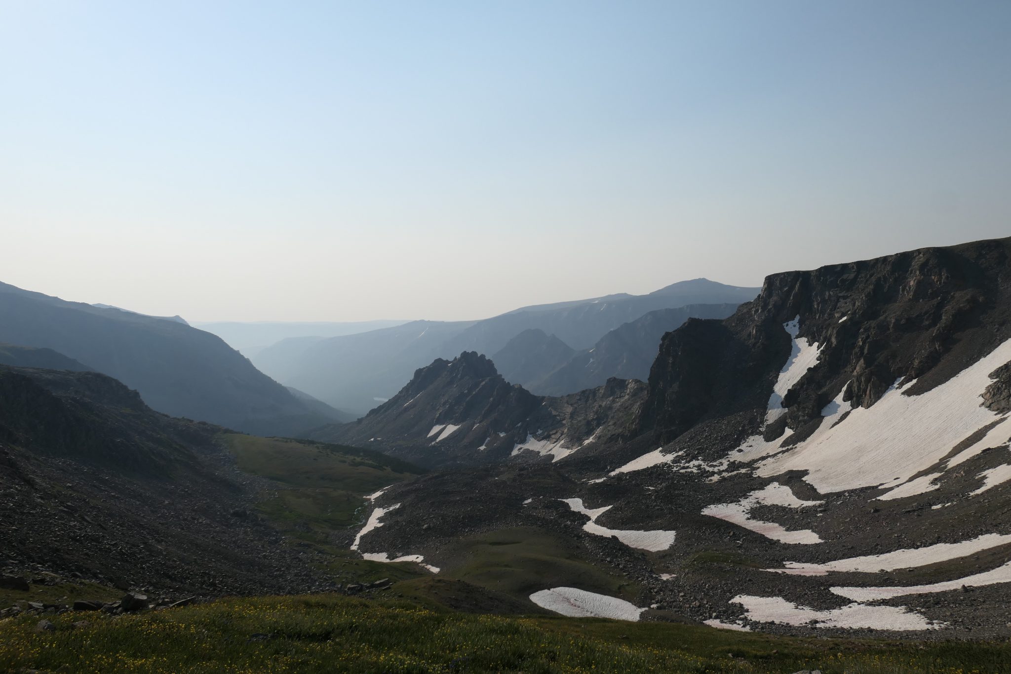
Lake Fork © by Linus Metzler 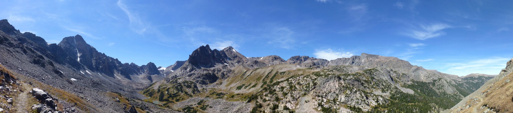
West Fork © by Linus Metzler
We’re working on it!
Quinnebaugh Meadows
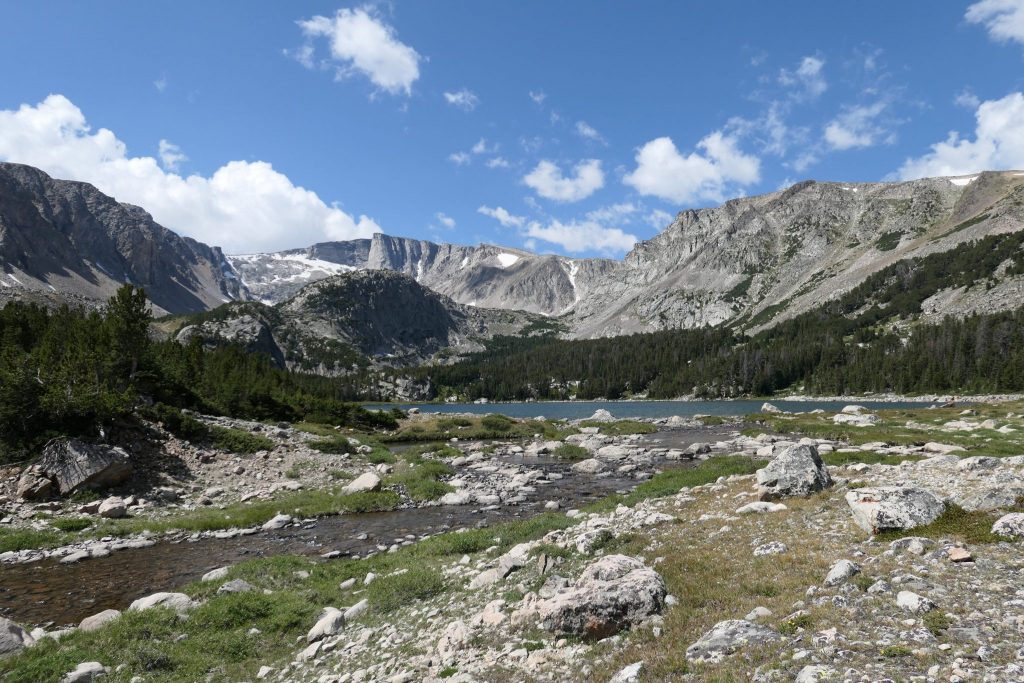
Quinnebaugh Meadows in the bottom left and the West Fork with Whitetail Peak in the right half of the photo © by Linus Metzler
The West Fork Trailhead is about 35 minutes west of Red Lodge, MT at the end of a good gravel road. Quinnebaugh Meadows is about 4.5 miles into the trail which follows the West Fork of Rock Creek, including two waterfalls and ascends about 900 feet.
After the 2008 Cascade Fire, the trailhead for going over the Red Lodge Creek Plateau to Crow and Sylvan Lakes was merged with the West Fork Trailhead and as such you encounter a junction within seconds of hitting the trail. To go up the West Fork, take a left here.
The first couple miles of this trail were burned in aforementioned fire and can become quite warm yet the creek offers a few nice swimming pools and there are plenty of berries to find along the trail. As a result of this, bears and moose can be seen, too.
The trail gradually climbs up to the wide-open Quinnebaugh Meadows. Once you see a wooden sign for the Lake Mary Trail you know you’ve made it to Quinnebaugh Meadows from where on you can continue to Lake Mary, Sundance Pass (and over to the Lake Fork), or enjoy your lunch.
Lake Mary
Lake Mary © by Linus Metzler
If you’re in for more of a climb (and a view) than Quinnebaugh Meadows, you can climb up to Lake Mary. It’s another 1.5 miles and 1,100 feet from Quinnebaugh resulting in a total of 6 miles one-way and 2,000 feet ascent from West Fork Trailhead. The turnoff at the beginning of Quinnebaugh is indicated by a sign and the trail, while steep in some sections, is in good shape and mostly in the forest (don’t get excited too early, the lake is after a stretch through a boulder field).
Lake Mary (pictured; there are, depending on the time of the year, another two lakes up there, one is connected to Lake Mary, the other on to the west) is gorgeous and is a great spot to spend the night and enjoy the view of Whitetail Peak.
Crow, Sylvan Lake
We’re working on it!
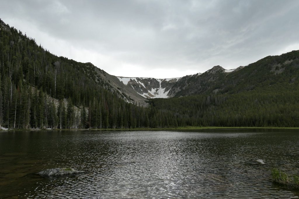
Gertrude, Timberline Lake
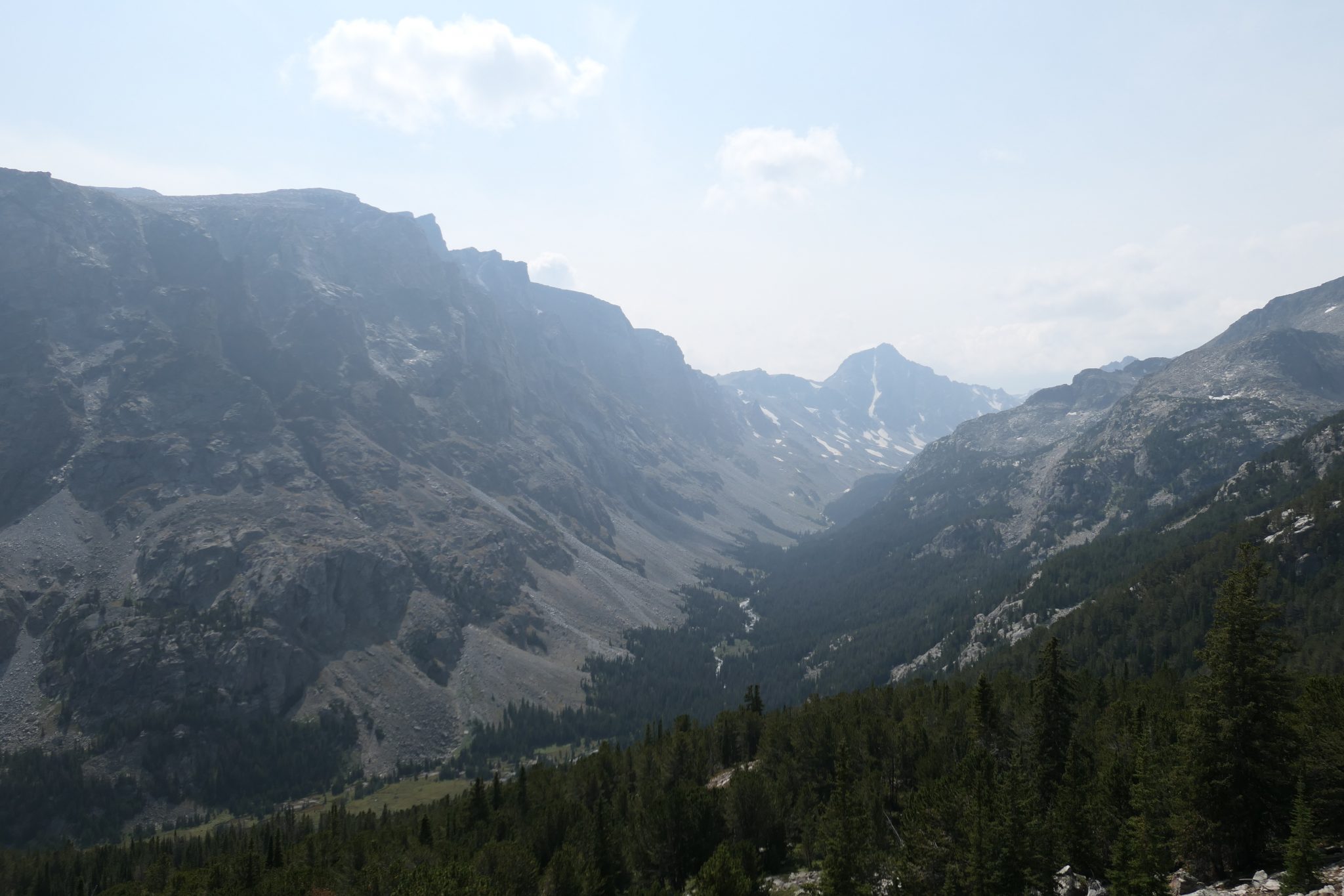
Timberline Lake © by Linus Metzler
Timberline Lake Trailhead is about 30 minutes west of Red Lodge, MT and lets you explore Timberline Lake as well as Silver Run Plateau. The hike to the lake is 4.5 miles one-way and gains 2,100 feet of elevation. The trailhead is signed and right after you cross the bridge after Cascade Campground, on the left side when driving up the valley.
Before the 2008 Cascade Fire, Timberline Lake was at the timberline. It is still now, but also from below. The first 3.5 miles will be in burned forest and first about 2 miles is where you gain the most altitude. Be careful not to follow the spur trail (to Camp Senia) downhill after about a mile in a switchback to the right. However, don’t let the burn the ascent fool you: this hike is very much worth it! Later in the season, there are lots of berries along the burn part, too.
After about 3 miles, there is a junction in the trail where you could cross the stream to the left (not early in the season though) to continue up to the Silver Run Plateau. Stay on the right however, where the trail ascends again and you’ll soon be in the forest. After a fairly easy stream crossing, Lake Gertrude will be on the right. While you could stay here (4 miles in), you’d be missing out on Timberline Lake which is just another two small stream crossings and half a mile up the trail.
Timberline Lake is great for fishing, a refreshing swim, to enjoy lunch or dinner, and the surroundings further up the valley invite to explore the area below Silver Run Peak on the right.
Palisades, Willow, Nichols Trails
We’re working on it!
Basin Lakes Trail
Upper Basin Creek Lake © by Linus Metzler
We’re working on it!