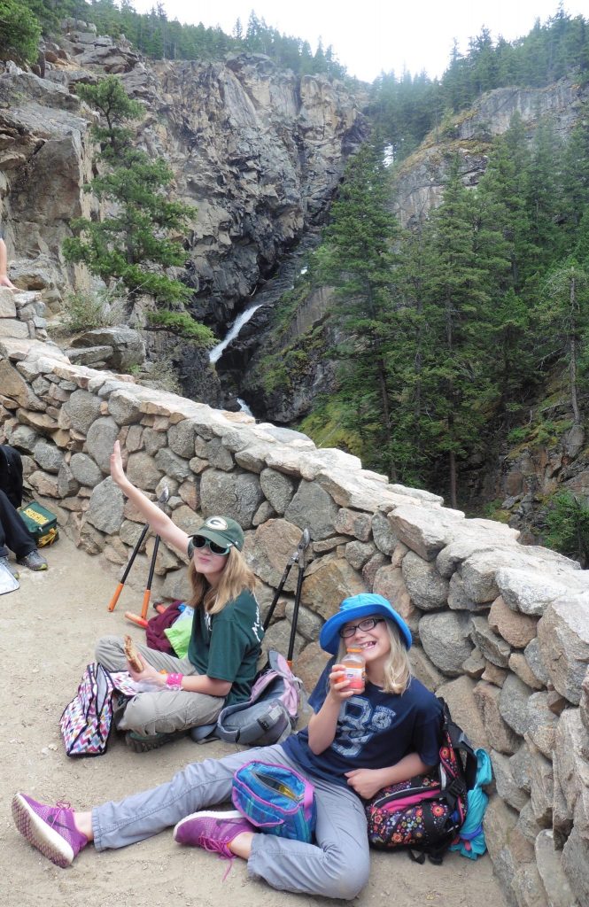
Woodbine Falls

A short (1+ mile), moderately steep hike up a well used trail leaving from the campground. Nice viewpoint of Woodbine Falls!
Sioux Charlie Lake, Main Fork Stillwater

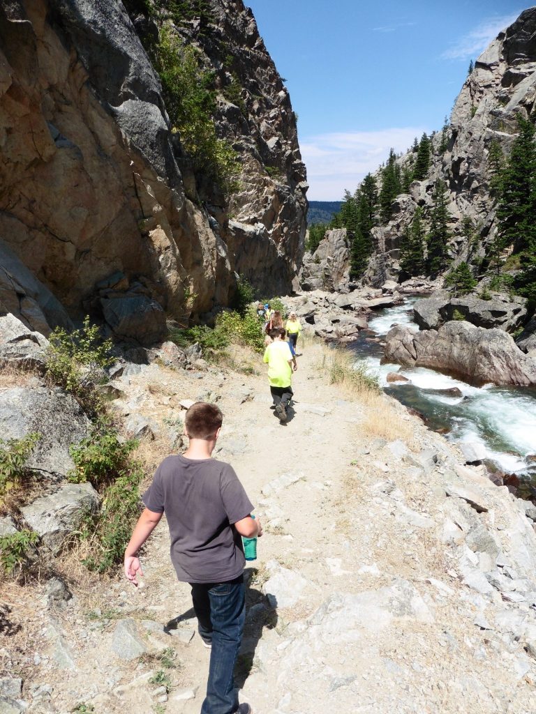
Past the Stillwater Mine on County Road 419 out of Fishtail, MT, the road ends at Woodbine Campground and the trailhead up the Main Stillwater River. The Stillwater is one of the largest rivers flowing out of the Absaroka-Beartooth Wilderness, and in spring the power of the water rushing through the Stillwater narrows near the trailhead is awesome!
The entirety of the Stillwater Trail is a marathon of mileage–26 miles to where it originates below Daisy Pass outside of Cooke City. Three miles in is Sioux Charley Lake (really just a wide point in the River), and beyond that are numerous meadows to cross before you come to the Wounded Man bridge and the most popular trail leading up to the Lake Plateau and its many, many beautiful lakes. Beyond the Wounded Man branch on the Main Stillwater, the trail crosses two side streams that no longer have bridges over them due to the 1988 fires (yes, the Yellowstone fires were here too!). They can be downright dangerous to cross early in the season with heavy runoff, depending on snowmelt, so check conditions first.
The Horseshoe Lake trail branches off the Main Stillwater a number of miles farther in. Ultimately, the Stillwater Trail reaches the headwaters of the Stillwater River near Lake Abundance in the Upper Stillwater basin below Lulu and Daisy passes, Wolverine Peak and Miller Mountain.
West Fork Stillwater

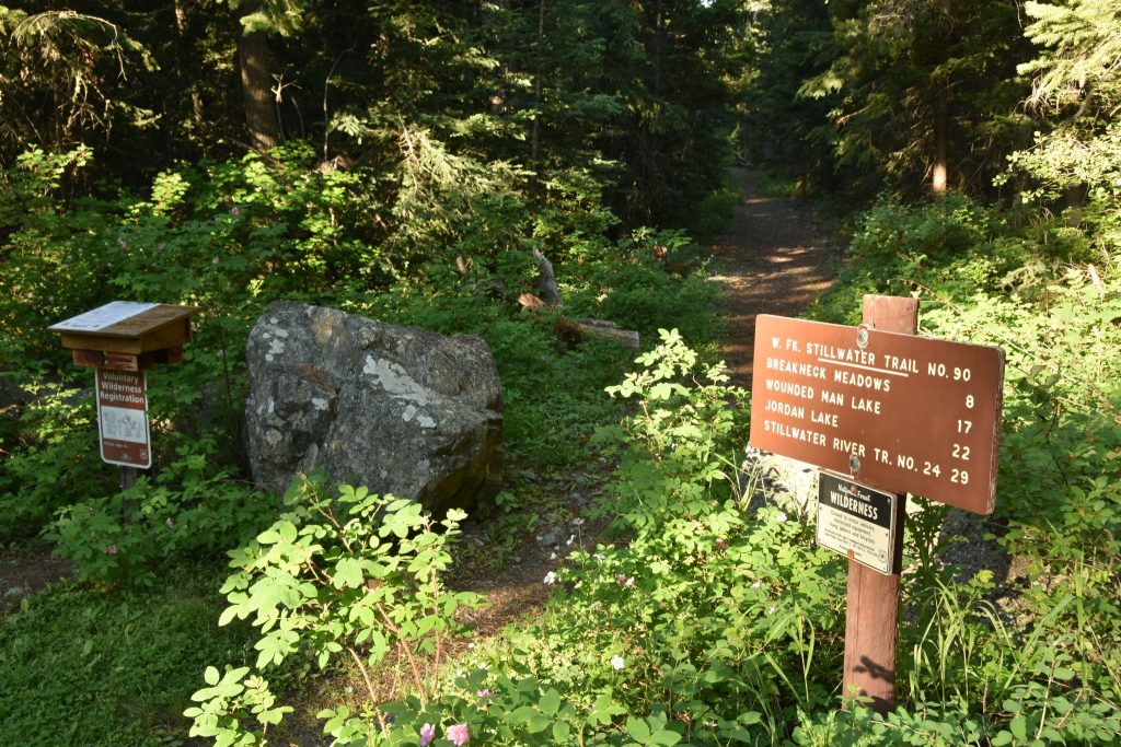
If you are looking for solitude, the West Stillwater is the place to go. High above the Stillwater Mine, the road is quite rough to its end at Initial Creek Campground and the W. Stillwater Trailhead. Pretty country lies beyond–Breakneck Meadows, Lakes Pinchot and Wounded Man, and the Lake Plateau! It’s a popular horse-packing locale due to the distances involved. Many access Lightning and Jasper Lakes from the W. Stillwater. You’re not likely to meet many people up in here!
