Trails
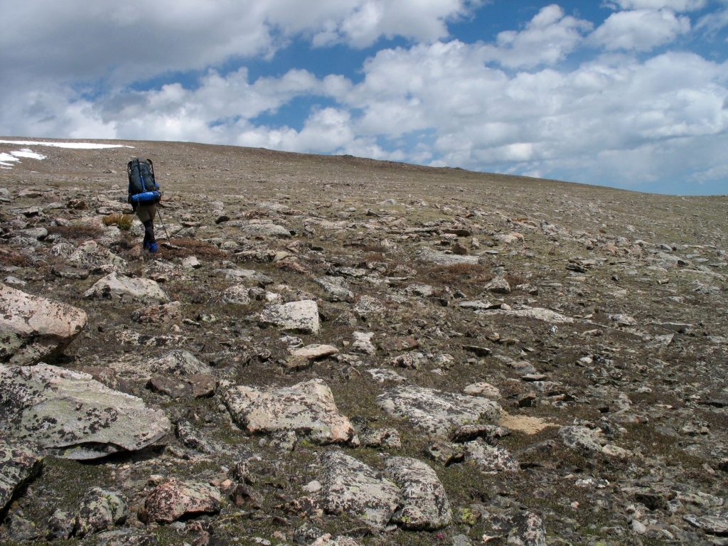
There are over 700 miles of trails within the Absaroka-Beartooth Wilderness alone. The A-B Wilderness offers countless hiking, backpacking, and horse-packing opportunities. If you are interested in finding good trails in a particular area of the Absarokas or the Beartooths, here are a few ideas, grouped by region:

- Beartooth Pass
- Boulder River
- Cooke City Area
- East and West Rosebud
- Paradise Valley
- Red Lodge Area
- Stillwater River
Leave No Trace
Wilderness areas, of all the public lands in the United States managed by the federal government, are special. Wilderness lands can only be designated by an act of Congress and, thereby bestowed, receive our highest level of protection of all our public lands. The driving principal behind Wilderness is to preserve some of our natural heritage in its most natural state. Human impacts on the land are intended to be kept to a minimum so that Wilderness lands remain in their most natural and most primitive state.
Because of its remoteness to larger population centers, its ruggedness, its immense size and short summer season, the Absaroka-Beartooth Wilderness is one of the most pristine wilderness areas anywhere in the Lower 48 states. And while a visitor’s first inspection of this area might make it appear that impacts on the land are not a great concern, nonetheless, human-caused impacts ARE occurring. The greatest threats to the Absaroka-Beartooths are often the unintentional impacts by even well-meaning users of the wilderness–for instance, the overuse and degradation of highly popular areas and diminishing water quality. It is therefore imperative that we do everything we humanly can to mitigate these impacts.
Maps
While most hiking trails in the A-B are well-signed, a map is always useful and sometimes very necessary to keep you oriented to the terrain. Different map products exist and we recommend you find the products that are right for you:
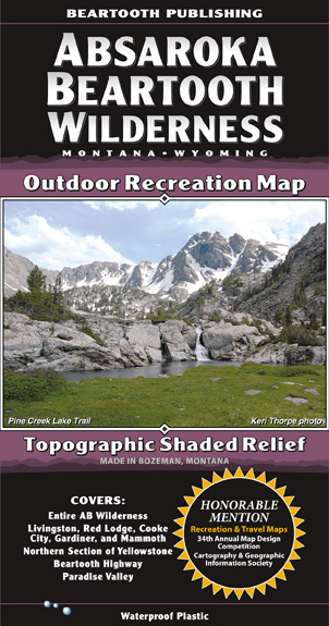
- The 1:100,000 Absaroka-Beartooth Wilderness map by Beartooth Publishing gives a great overview of the A-B and is suitable for most on-trail hikes.
- There is also the 1:50,000 Beartooth Mountains map by Beartooth Publishing which covers just the east side of the A-B at double the resolution and is great for most on- and off-trail hikes.
- For maps with an even greater level of detail, the USGS’ 1:24,000 topo quads are highly recommended. A print version can be obtained from most USFS offices around the A-B.
- Additionally, the USGS topo maps, which lack trails, can be helpful, too. National Geographic offers print-optimized versions.

Special Considerations
The Absaroka-Beartooth Wilderness is home to both black bears & grizzly bears, and as such food storage is required. Carrying a can of bear-repellent spray is highly recommended. Please consult this page for more information.
Please Leave No Trace! This includes packing out all your trash and staying on trails. This ensures the A-B can be enjoyed in its pristine way by many generations to come.
Do NOT camp less than 100 feet away from free-flowing water and less than 200 feet from lakes. Please keep in mind that party size in the Wilderness is limited to 15 people. Camping in one location may not be longer than 16 days at a time.
“Leave nothing but footprints. Take nothing but pictures. Kill nothing but time.”
Conditions
For information on trail conditions in the Absaroka-Beartooth Wilderness, especially in the east part of the A-B, please have a look over at Sylvan Peak!
Gear & Equipment
Our friends at Sylvan Peak in Red Lodge, MT, Timber Trails in Livingston, MT, The Base Camp in Billings, MT, will gladly help you with getting equipped for your backcountry adventure. There are plenty to be had in the A-B Wilderness.
Information provided here may be inaccurate and the ABWF is not liable for any damages resulting from hiking trails in the Absaroka-Beartooth Wilderness.
