Citizen Science
Understanding the Absaroka Beartooth Wilderness helps us better connect with and preserve this remarkable landscape. That’s why we help collect a wide range of data on the wilderness and how it’s used — and you can help us. From solitude monitoring to trailhead inventories, there are ample opportunities for you to help build our social and scientific knowledge of the Wilderness and our impacts.
Currently, we have two Ongoing Data Gathering Initiatives
Stewardship TourS:
One of the required standards under the Wilderness Act of 1964 and important to most people today is “opportunities for solitude.”
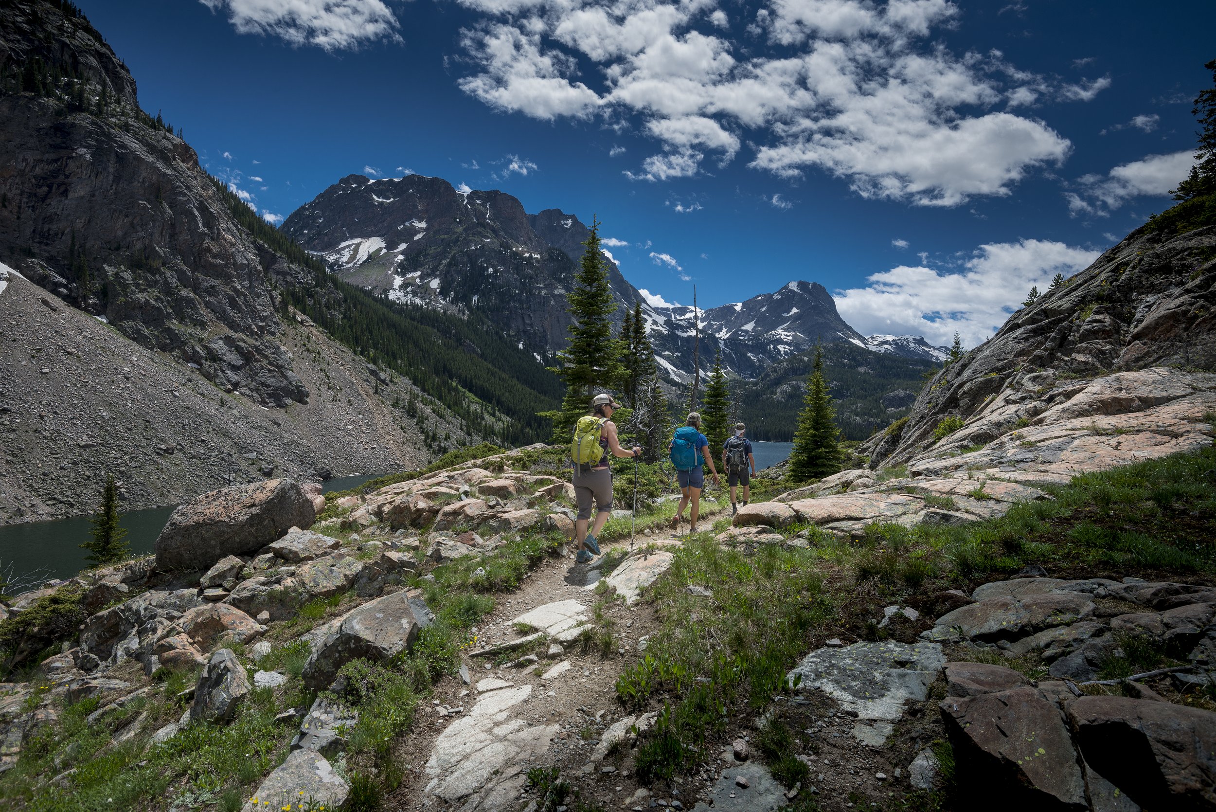
Hike with us for three or four days on popular Wilderness trails and rugged cross-country routes to collect data on social encounters as an indicator for “solitude.” The data we collect will help the US Forest Service in their annual assessment of the Absaroka-Beartooth Wilderness. Solid backpacking and off trail experience is required while ABWF will train you in all the necessary data collection protocols across beloved areas like the Lake Plateau, Elbow Lake and the East Rosebud. With trips running nearly continuously from late June to early September, there will be an adventure to fit your summer schedule.
If you are interested in joining us for a stewardship Tour or just love a good map, research the locations on the Interactive CalTopo Map.
Viewing on a Desktop is recommended.

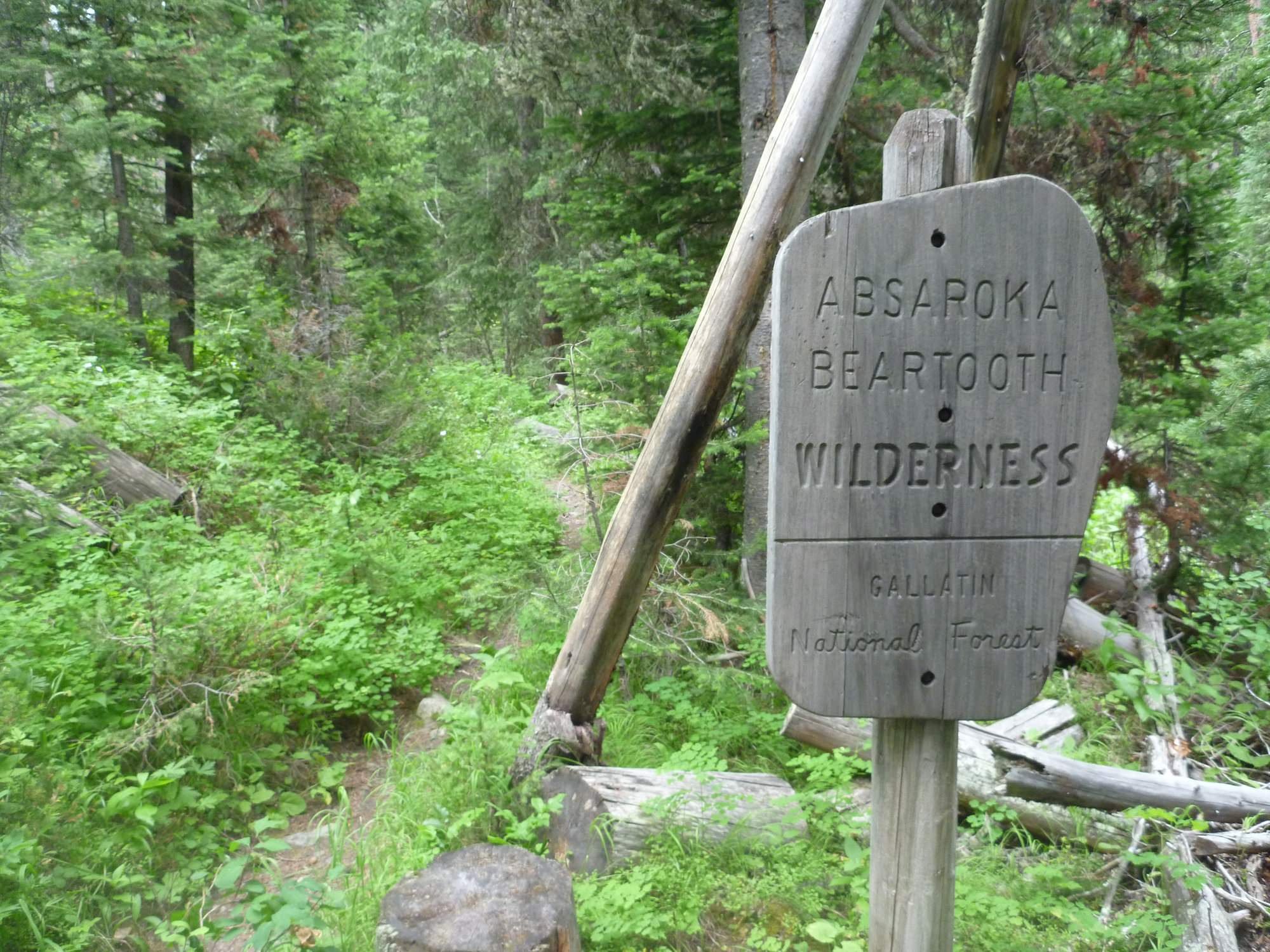
Wilderness Portals:
In 2026, we are launching an ambitious inventory project with the aim of cataloging every trailhead from which there is a trail that leads into the Absaroka-Beartooth Wilderness. These range from the most popular and accessible like Pine Creek to the overlooked and obscure.
We like to think of these trailheads as “wilderness portals,” because it is through them that you can access all the wonders of the AB. During our inventories, we are collecting information about things like the amount of space at each trailhead, what amenities are available (or not), the condition of any signage, and the distance from the trailhead to the wilderness boundary. This information is designed to help the user better know what to expect at each trailhead, and help you plan your next adventure into the AB and inspire you to check out that trail less-traveled. Photos courtesy David Wells.
CHeck out our BLog or Interactive Map for updated Inventories, and if you want to become a trailhead inventory volunteer, reach out.