
Solitude Monitoring
Join Us on a
Solitude Monitoring adventure!
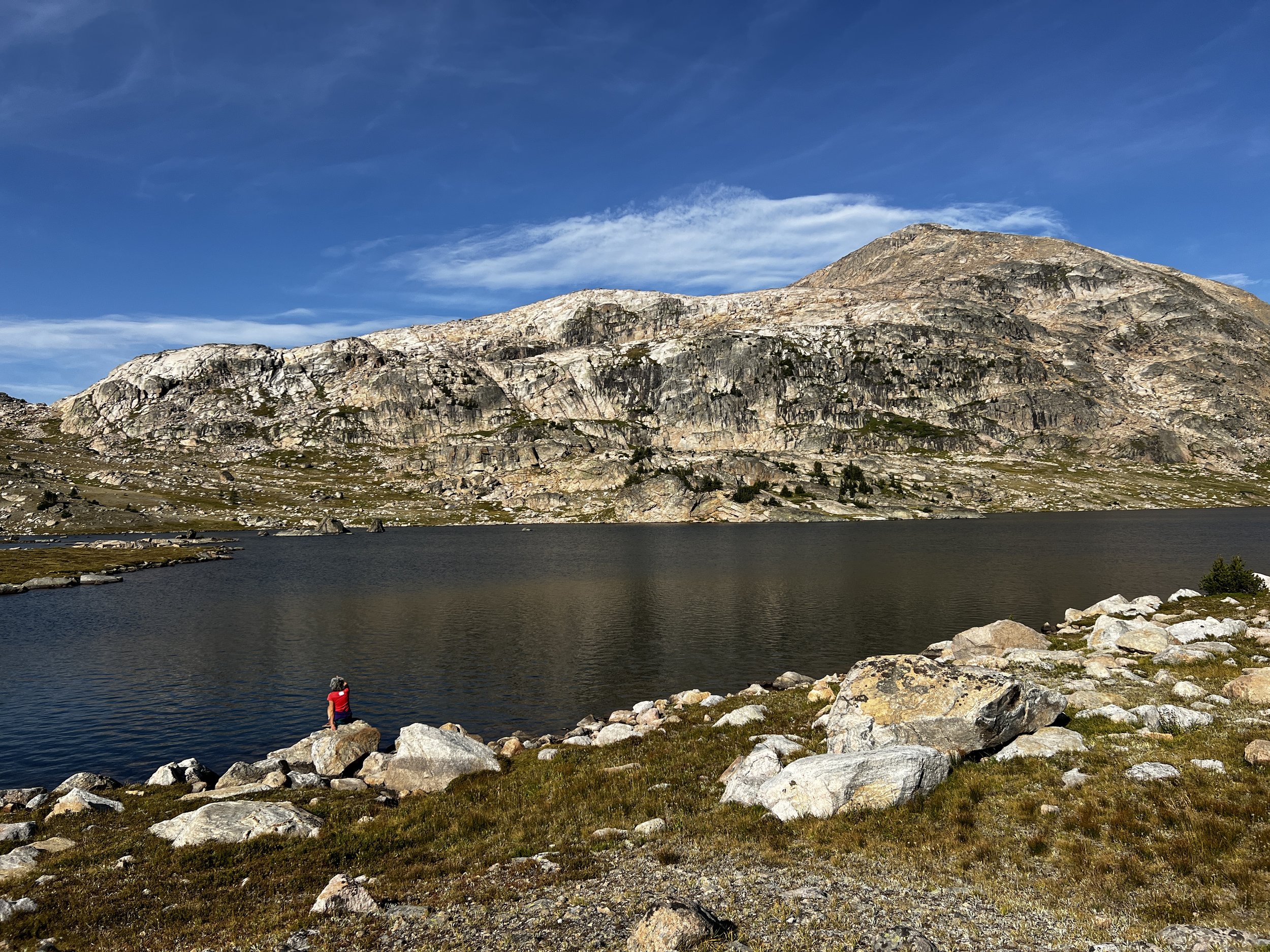
Solitude is a defining quality of Wilderness, and tracking it is critical for protecting the Absaroka-Beartooth Wilderness. Due to USFS funding and staff cuts, ABWF is stepping up to lead 14 three or four-day backpacking trips into iconic, breathtaking landscapes. Join us to help collect essential data while experiencing true wilderness adventure!
Note: all of these monitoring trips require backpacking experience with heavy packs, going up and down steep mountains, and travel across rugged, off-trail terrain. For the safety of others and to ensure we collect the data required, we ask you honestly assess your suitability and we reserve the right to approve your participation. Space is limited. Barring any closures due to fire or wildlife (or flood), all trips will run regardless of the weather.
MEasuring Wilderness Stewardship
In the Absaroka-Beartooth Wilderness, there are 8 different areas, each consisting of three “routes” that require monitoring in accordance to strict protocols developed by the Custer Gallatin National Forest. On our adventures, we will tally “encounters" and monitor a number of campsites along the way. Additionally, all 8 locations need to be monitored on both a (long) weekend and a weekday. This helps provide an accurate snapshot of the typical experience users might encounter in our favorite Wilderness. Don’t worry about the protocols or the route finding, our ABWF leaders will show the way and train you in all the monitoring details. With 14 adventures between July 4th and mid-Sept, there will certainly be a trip to fit your summer schedule.
Click on the Buttons below for more details on each adventure.
Space is very limited - Sign Ups close 2 weeks prior to departure
Lake FOrk Rock Creek
Routes: Lake Fork Trail #1 - Lost Lake - Black Canyon Lake - 2nd Red Rock Lake
Total miles: 19.4 miles, 3 days
Cumulative gain/loss: +3,292’ -3,292’
Maximum Elevation: 9,350’
Beartooth Ranger District
Closest Town: Red Lodge, MT
Agate Springs
Elbow Lake
Routes: East Fork Mill Creek Trail #51 - Mill
Creek Pass Trail #251 - Elbow Lake Trail #48
Total miles: 21.1 miles, 3 days
Cumulative gain/loss: +5,767’ -5,722’
Maximum Elevation: 9,500’
Yellowstone Ranger District
Closest Town: Pray, MT (Paradise Valley)
West Fork - Snow Lake
Routes: West Fork Trail #1 - Dude Lake - Lake Mary - Snow Lake - East Rosebud Trail #15
Total miles: 16.8 miles, 4 days + shuttle
Cumulative gain/loss: +5,726’ -7,358’
Maximum Elevation: 11,700’
Beartooth Ranger District
Closest Town: Red Lodge, MT (Roscoe)
West Rosebud
Routes: Mystic Lake Trail #19 to Silver Lake - Princess Lake (Huckleberry Crk) - Frenco Lake
Total miles: 22.4 miles, 3 days
Cumulative gain/loss: +5,795’ -5,795’
Maximum Elevation: 9,150’
Beartooth Ranger District
Closest Town: Fishtail, MT
Lake Plateau
Routes: Upside Down Creek Trail #26 - Mirror Lake - Squeeze Lake + Rainbow Lakes #28/211
Total miles: 20.8 miles minimum, 4 days
Cumulative gain/loss: +5,548 -4,992’
Maximum Elevation: 10,000’
Yellowstone Ranger District
Closest Town: Big Timber, MT
East Rosebud
Routes: East Rosebud Trail #15 to Dewey Lake (The Beaten Path) + Echo Lake - Medicine Lake
Total miles: 29.3 miles minimum, 4 days
Cumulativegain/loss: +7,106’ -7,106’
Maximum Elevation: 9,906’ to 10,000’
Beartooth Ranger District
Closest Town: Roscoe, MT
HOrse Creek DIVIDE
Routes: Fawn Lake Trail #252 - Horse Creek Divide Trail #148/620 - Knox Lake Trail #84
Total miles: 19.4 miles, 3 days + shuttle
Cumulative gain/loss: +3,903’ -4,870’
Maximum Elevation: 9,650’
Gardiner Ranger District
Closest Town: Gardiner, MT
Beartooth Plateau
Routes: Lady of the Lake Trail #31 - Aero Lakes - Rough Lake - Bald Knob - Russell Crk Trail #3
Total miles: 21.6 miles, 3 days + shuttle
Cumulative gain/loss: +3,563’ -4,352’
Maximum Elevation: 10,400’
Gardiner Ranger District
Closest Town: Cooke City, MT
Research trips on the interactive Map

Ranking by overall difficulty- easiest to hardest:
Ranking difficulty is subjective and can vary widely due to trail conditions, stream crossings, amount of snow, weather and air quality.
1/ Lake Fork Rock Creek, 3 days
2/ Horse Creek Divide, 3 days
3/ Lake Plateau, 4 days
4/ West Rosebud, 3 days
5/ Agate Spring-Elbow Lake, 3 days
6/ Beartooth Plateau, 3 days
7/ West Fork-Snow Lake, 4 days
8/ East Rosebud, 4 days

Select By Date:
July 4-6: Lake Fork Rock Creek, 3 days
July 12-13: Agate Springs-Elbow Lake,2 days
July 14-16: Lake Fork Rock Ck, 3 days
July 17-19: West Fork-Snow Lake, 3 days
July 25-27: West Rosebud, 3 days
July 29-30: Agate Spring-Elbow Lake, 2 days
Aug 2-5: Lake Plateau, 3 days
Aug 8-10: Horse Creek Divide, 3 days
Aug 8-10: East Rosebud, 3 days
Aug 9-11: West Fork-Snow Lake, 3 days
Aug 15-17: Beartooth Plateau, 3 days
Aug 21-24: Lake Plateau, 4 days - FULL
Aug 26-28: West Rosebud, 3 days - OPEN
Sept 9-12: East Rosebud, 4 days - OPEN

Select By Length & Days of week:
4-Day Trips:
Thursday, July 17 to Sunday, July 20: West Fork-Snow Lake
Saturday, Aug 2 to Tuesday, Aug 5: Lake Plateau
Saturday, Aug 9 to Tuesday, Aug 12: West Fork-Snow Lake
Thursday, Aug 21 to Sunday, Aug 24: Lake Plateau - FULL
Tuesday, Sept 9 to Friday, Sept 12: East Rosebud - OPEN

Friday to SUnday
Long Weekends:
July 4-6: Lake Fork Rock Creek
July 11-13: Agate Springs-Elbow Lake
July 25-27: West Rosebud
Aug 8-10: Horse Creek Divide
Aug 15-17: Beartooth Plateau

3-Days During the week:
Monday, July 14 to July 16: Lake Fork Rock Creek
Monday, July 28 to July 30: Agate Springs-Elbow Lake
Tuesday, Aug 26 to Aug 28: West Rosebud - OPEN
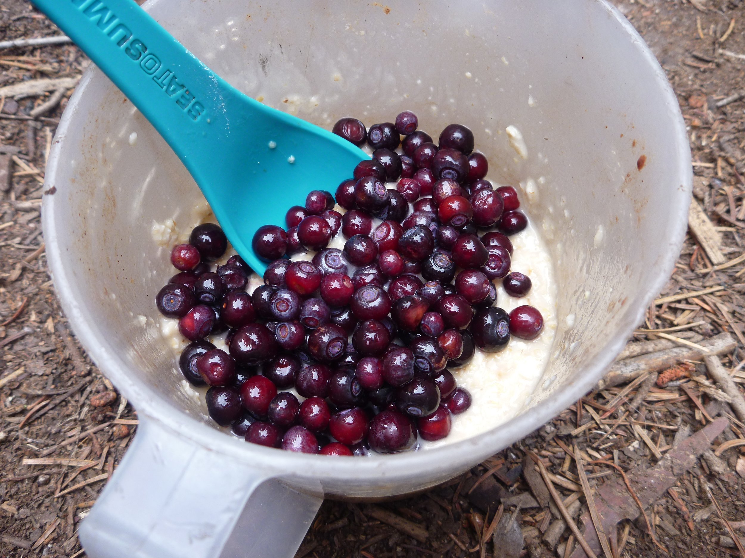
IS Multi-day Monitoring not for you, yet you have a keen interest to engage in Citizen Science? We have you covered!
Our ongoing Trailhead Inventory data collection program is accessible to just about anyone with a functional vehicle, loves going for a drive on Montana Forest Service roads, has an attention to detail, and can be friendly with people and wildlife you encounter!